HCAD_TAZ_METRO
Reframing Transit Corridor Investment Readiness Through Land-Based Analysis
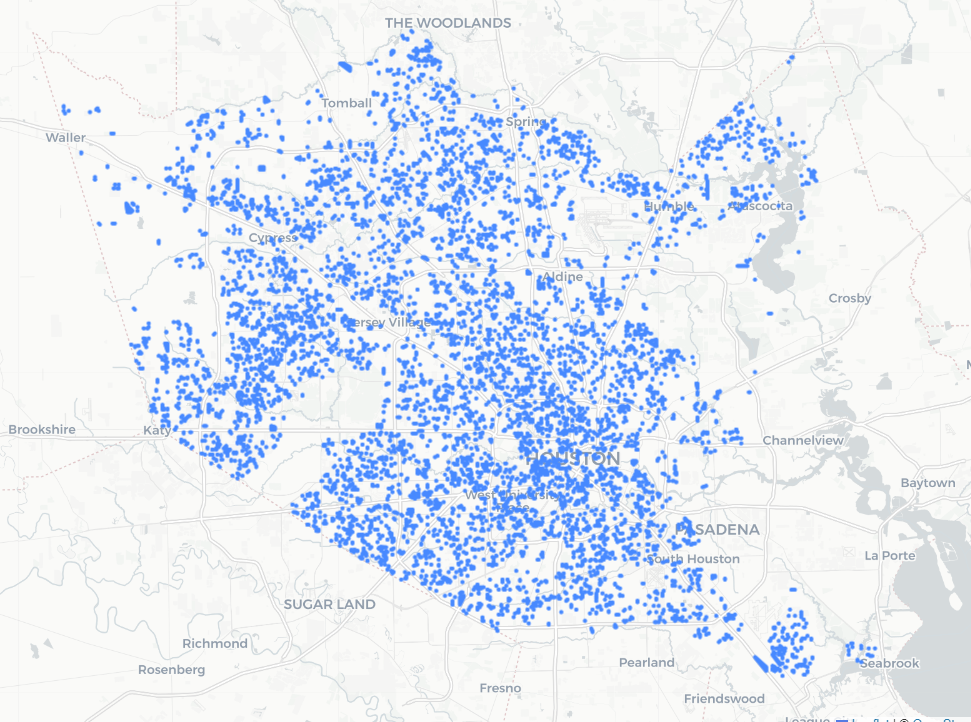
Harris County Appraisal District Parcels within Houston Metro Service Area
Traditionally, transit planning focuses on demographic and ridership indicators to guide corridor investment. While population density and socioeconomic metrics remain important, this approach often overlooks the foundational influence of Texan land characteristics on both current and future transit viability. This project proposes a reframed, land-centered methodology to assess readiness for transit investment across the METRO Service Area.
Objective
To develop a TAZ (Traffic Analysis Zone) Transit Readiness Index rooted in the economic and structural characteristics of land—independent of population trends or current ridership—thereby enabling the agency to proactively identify high-opportunity areas for infrastructure and service investment.
Data Integration
This approach merges two core datasets:
- Appraisal District Parcel Data (HCAD) – capturing the physical, categorical, and valuation-based attributes of land across Harris County.
- Traffic Analysis Zones (TAZs) – representing the spatial framework used in transportation modeling, capital planning, and performance tracking.
Analytical Model
A tree-based Random Forest regression model was constructed to estimate each parcel’s economic value based on land attributes alone. Key model inputs included:
- Generalized Land Use Code (LBCS)
- State Property Class Description
- Parcel Acreage
- Year of Improvement Construction
The model’s output, a predicted log-transformed appraised value, serves as a proxy for land economic intensity—a structural indicator of how the land should perform given its characteristics, irrespective of demographic conditions.
By comparing the actual appraised value to the model’s predicted value, we derive a residual score that flags potential “underperformance.”
TAZ Readiness Index
The proposed final product is a weighted TAZ Transit Readiness Index, incorporating a set of factors:
| Component | Description | Weight (TBD) |
|---|---|---|
| Model Residual Score | Difference between predicted and actual land value | |
| Parcel Redevelopment Profile | Acreage and improvement age mix | |
| Infrastructure Access | Proximity to arterials, transit, and utilities | |
| Regulatory Alignment | Zoning/buildout potential vs. current use | |
| Perception Proxy | Crime rates, vacancy patterns, nearby investment |
This index identifies and ranks TAZs as Ready, Emerging, or Constrained, enabling targeted investment in transit-supportive infrastructure and services.